Photo: Michael Cornelius / Wikimedia Commons, CC BY-SA 2.0
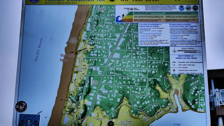
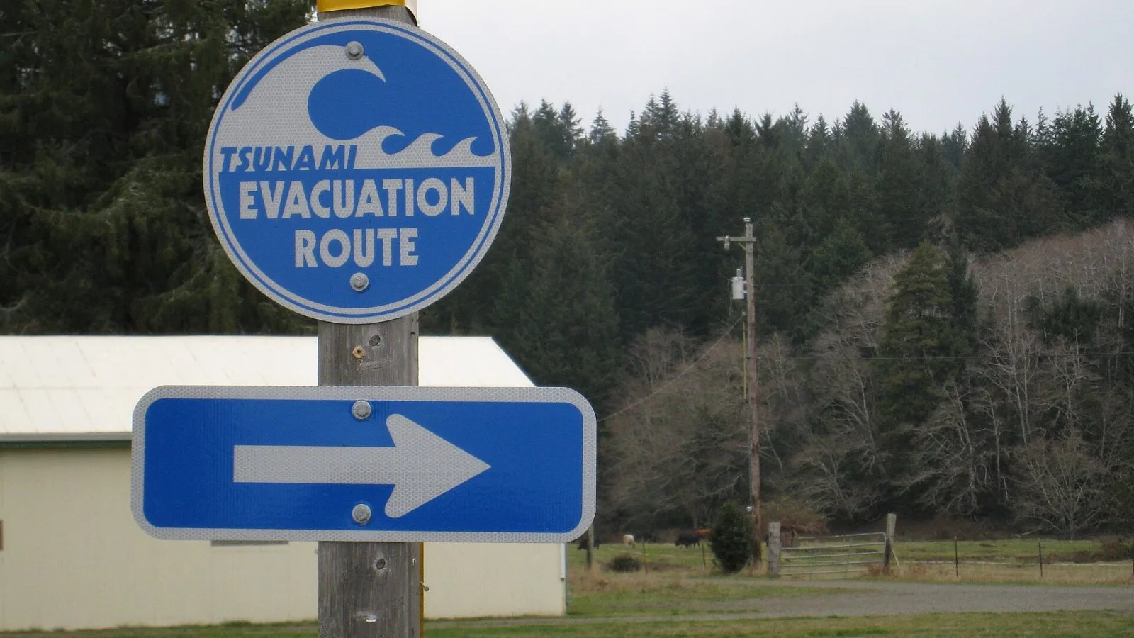
Every town on the Lincoln County coast has a tsunami evacuation map, and most people who live here have seen the blue-and-white route signs along U.S. 101. Fewer have looked closely at the maps themselves, which show two different hazard zones and the routes out of each.
Two zones, two kinds of tsunami
The maps are produced by the Oregon Department of Geology and Mineral Industries (DOGAMI). They show the area that could flood from a distant tsunami, one generated by an earthquake across the Pacific, such as off Alaska or Japan, and the much larger area that could flood after a local earthquake on the Cascadia Subduction Zone just off the coast.
The difference matters. A distant tsunami would take hours to arrive, and officials would issue warnings and organize evacuations. A local Cascadia tsunami could reach the shore in roughly 15 to 30 minutes after the shaking stops. In that case the earthquake is the warning, and there would be no time to wait for an official notice.
Finding your map
DOGAMI publishes printable evacuation brochures and an online map viewer through the Oregon tsunami program at oregontsunami.org. Brochures cover Lincoln City, Depoe Bay, Newport, South Beach, Waldport, Yachats and other communities, and Lincoln County Emergency Management distributes paper copies. The online viewer lets you type in an address and see whether it falls inside either zone.
What to look for
- Whether your home, work and school are inside the local zone.
- The nearest high ground outside it, and the assembly areas marked on the map.
- Routes on foot. After a large earthquake, roads and bridges may be damaged and cars will jam.
Walk the route once in daylight and time it. Our guide to preparing for a Cascadia tsunami covers go-bags and family plans.
Dewey Albrecht covers the Port of Newport, commercial and sport fishing and the Yaquina Bay bar.